The pilot activities are structured around four axes: institutional, technical, monitoring-evaluation and informational.
- Institutional axis: mobilisation of actors in charge of water management, recruitment of a national expert, local constitution of a monitoring-evaluation committee for the implementation of the Action Plan.
- Technical axis: focusing on the production of documents mainly maps:
- The pilot’s geographical location map;
- Irrigation network map;
- Land cover map of the herbaceous layer;
- Land cover map of the arboreal layer
- Land cover map of the palm tree layer

A number of other activities were implemented within this technical axis:
- topographical survey, marking the limits of the drainage system and the location of piezometers;
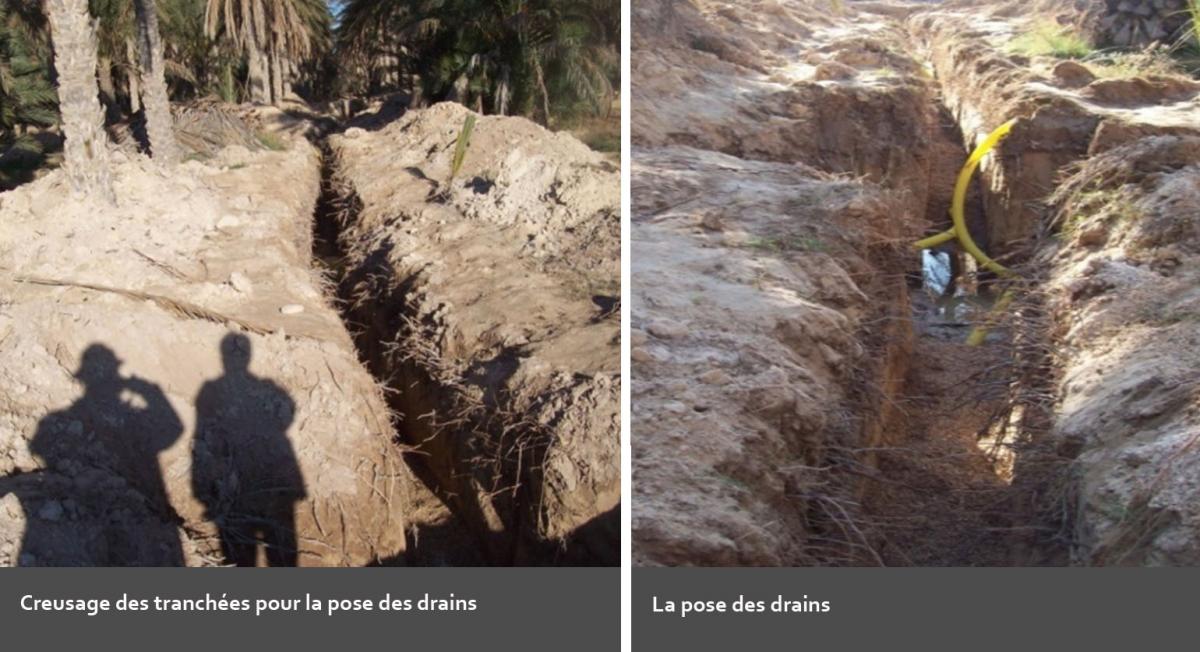
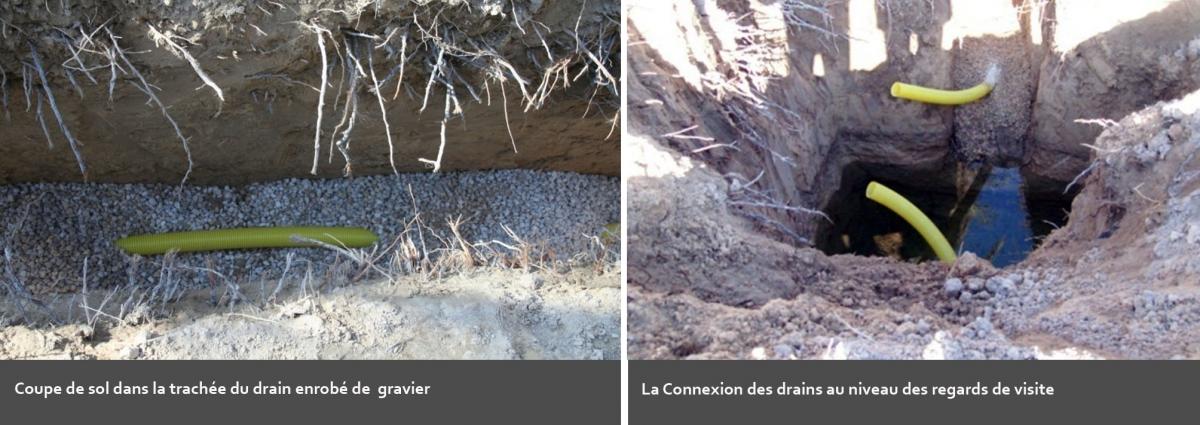
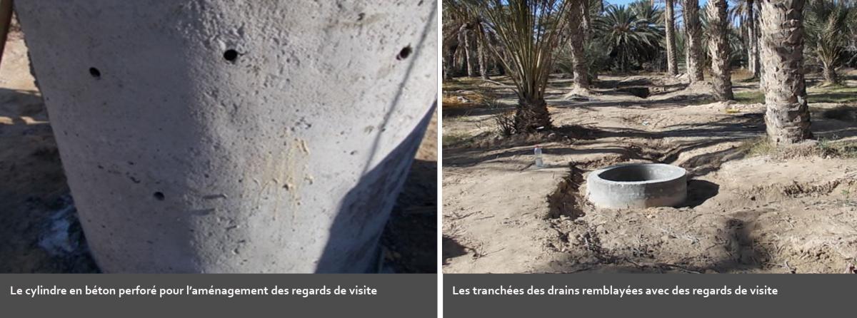
- installation of an underground buried drainage system ( digging trenches, installation of pipes and inspection pits, pipes covering, trenches backfilling …);
- installation of piezometers;
- installation of solar panel;
- installation of the drainage water pumping equipment (solar pumping);
- soil preparation: weed killing, soil fertilisation and maintenance (manure and sand);
- cultivation of the herbaceous layer with garden market and forage crop;
- cultivation of the arboreal layer: improve biodiversity by introducing new tree species adapted to the oasis.

- Monitoring-evaluation: assessing the pilot implementation progress, the difficulties encountered as well as the positive obtained results. The technical monitoring focused also on the evaluation of the agricultural revenue, water consumption and drainage water and soil analysis.
- Results Dissemination: several activities will be conducted to disseminate the positive obtained results in the three concerned countries.

